Datei:Alberta Highway 15.svg

Größe der PNG-Vorschau dieser SVG-Datei: 450 × 600 Pixel. Weitere aus SVG automatisch erzeugte PNG-Grafiken in verschiedenen Auflösungen: 180 × 240 Pixel | 360 × 480 Pixel | 576 × 768 Pixel | 768 × 1.024 Pixel | 1.536 × 2.048 Pixel
Originaldatei (SVG-Datei, Basisgröße: 450 × 600 Pixel, Dateigröße: 6 KB)
![]()
Diese Datei und die Informationen unter dem roten Trennstrich werden aus dem zentralen Medienarchiv Wikimedia Commons eingebunden.
![]()
Beschreibung
| Beschreibung |
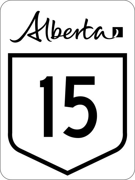
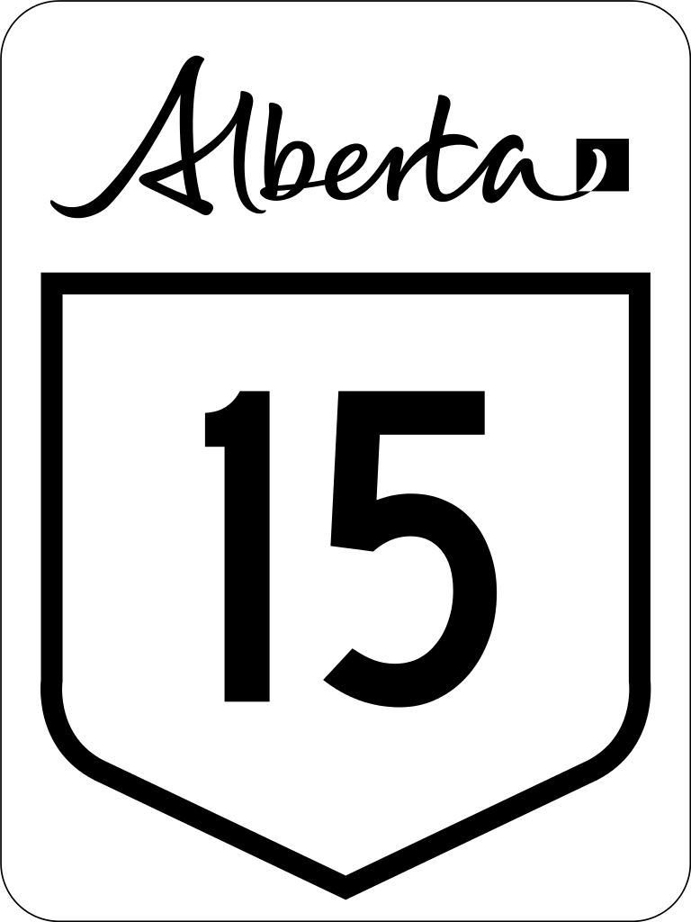
English: Alberta Highway 15 road sign. |
||
| Datum | (UTC) | ||
| Quelle | File:Alberta primary highway template.svg | ||
| Urheber | Svgalbertian | ||
| Genehmigung (Weiternutzung dieser Datei) |
The Alberta workmark is a trademark of the Government of Alberta.
|
||
| Andere Versionen | File:Alberta Highway 15 (1970s).svg |

.svg)
Diese Datei enthält Elemente, die von folgender Datei entnommen oder adaptiert wurden:
Diese Datei enthält Elemente, die von folgender Datei entnommen oder adaptiert wurden:
Lizenz
| Diese Datei ist gemeinfrei („public domain“), weil sie nur Allgemeingut enthält und die nötige Schöpfungshöhe nicht erreicht. |
Dateiversionen
Klicke auf einen Zeitpunkt, um diese Version zu laden.
| Version vom | Vorschaubild | Maße | Benutzer | Kommentar | |
|---|---|---|---|---|---|
| aktuell | 01:34, 28. Feb. 2016 | | 450 × 600 (6 KB) | Highway Route Marker Bot | New version of sign |
| 03:19, 19. Okt. 2010 |  | 450 × 600 (5 KB) | Highway Route Marker Bot | Reprocess due to issue with the number '5' in latest version of Roadgeek font. | |
| 18:23, 4. Jul. 2010 |  | 450 × 600 (3 KB) | DieBucheBot | Optimizing SVG size | |
| 15:53, 2. Jul. 2010 |  | 450 × 600 (62 KB) | DieBucheBot | Optimizing SVG size | |
| 01:10, 29. Mär. 2009 |  | 450 × 600 (78 KB) | Svgalbertian | {{Information |Description={{en|1=Alberta Highway 15 road sign}} |Source=Own work by uploader |Author=Svgalbertian |Date=2009-03-28 |Permission=The Alberta workmark is a trademark of the Government of Alberta. |other_versions=[[:File |
Dateiverwendung
Die folgenden 6 Seiten verwenden diese Datei:
Globale Dateiverwendung
Die nachfolgenden anderen Wikis verwenden diese Datei:
- Verwendung auf en.wikipedia.org
- List of Alberta provincial highways
- Edmonton Transit Service
- Strathcona County
- Alberta Highway 16
- Anthony Henday Drive
- Alberta Highway 21
- Alberta Highway 14
- Alberta Highway 15
- Alberta Highway 28A
- Alberta Highway 37
- Alberta Highway 45
- List of highways numbered 15
- Stadium station (Edmonton)
- Edmonton LRT
- Clareview station
- Belvedere station (Edmonton)
- Coliseum station (Edmonton)
- Churchill station (Edmonton)
- Central station (Edmonton)
- Bay/Enterprise Square station
- Corona station (Edmonton)
- Government Centre station
- University station (Edmonton)
- Health Sciences/Jubilee station
- McKernan/Belgravia station
- South Campus/Fort Edmonton Park station
- Southgate station (Edmonton)
- Century Park station (Edmonton)
- Alberta Highway 29
- Wikipedia talk:Route diagram template
- Jasper Avenue
- Dudley B. Menzies Bridge
- Template:Edmonton LRT
- D.L. MacDonald Yard
- 50 Street, Edmonton
- Template talk:Edmonton LRT
- National Highway System (Canada)
- Fort Road & Manning Drive
- Alberta Highway 14X
- MacEwan station
- Kingsway/Royal Alex station
- Alberta Highway 855
- Template:Infobox road/testcases/CAN
- Yellowhead Trail
- Capital Line
- Template:Edmonton LRT future
- User:Useddenim/Capital Line
- Tawatinâ Bridge
- List of streets in Edmonton
- Gerry Wright Operations and Maintenance Facility
Weitere globale Verwendungen dieser Datei anschauen.