Datei:Angus UK location map.svg

Größe der PNG-Vorschau dieser SVG-Datei: 610 × 599 Pixel. Weitere aus SVG automatisch erzeugte PNG-Grafiken in verschiedenen Auflösungen: 244 × 240 Pixel | 489 × 480 Pixel | 782 × 768 Pixel | 1.042 × 1.024 Pixel | 2.085 × 2.048 Pixel | 1.425 × 1.400 Pixel
Originaldatei (SVG-Datei, Basisgröße: 1.425 × 1.400 Pixel, Dateigröße: 1,14 MB)
![]()
Diese Datei und die Informationen unter dem roten Trennstrich werden aus dem zentralen Medienarchiv Wikimedia Commons eingebunden.
![]()
| Beschreibung |
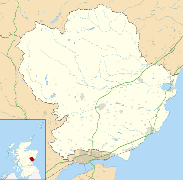
Blank map of Angus, UK with the following information shown:
Equirectangular map projection on WGS 84 datum, with N/S stretched 180% Geographic limits:
|
| Datum | |
| Quelle |
|
| Urheber | Nilfanion, created using Ordnance Survey data |
| Genehmigung (Weiternutzung dieser Datei) |
Diese Datei ist unter der Creative-Commons-Lizenz „Namensnennung – Weitergabe unter gleichen Bedingungen 3.0 nicht portiert“ lizenziert. Namensnennung: Contains Ordnance Survey data © Crown copyright and database right
|
| Andere Versionen | File:Angus UK blank map.svg - Blank map |
Dateiversionen
Klicke auf einen Zeitpunkt, um diese Version zu laden.
| Version vom | Vorschaubild | Maße | Benutzer | Kommentar | |
|---|---|---|---|---|---|
| aktuell | 22:01, 26. Sep. 2010 | | 1.425 × 1.400 (1,14 MB) | Nilfanion | {{Information |Description=Blank map of Angus, UK with the following information shown: *Administrative borders *Coastline, lakes and rivers *Roads and railways *Urban areas Equirectangular map projection on WGS 84 datum, with N/S stretched 18 |
Dateiverwendung
Die folgenden 4 Seiten verwenden diese Datei:
Globale Dateiverwendung
Die nachfolgenden anderen Wikis verwenden diese Datei:
- Verwendung auf ar.wikipedia.org
- Verwendung auf ba.wikipedia.org
- Verwendung auf bg.wikipedia.org
- Verwendung auf br.wikipedia.org
- Verwendung auf ceb.wikipedia.org
- Verwendung auf en.wikipedia.org
- Angus, Scotland
- Arbroath
- Glamis Castle
- List of monastic houses in Scotland
- Forfar
- Montrose, Angus
- Kirriemuir
- Colliston Castle
- Brechin
- Friockheim
- Carnoustie
- Glamis
- Aberlemno
- Memus
- Airlie, Angus
- Monifieth
- Liff, Angus
- Craigowl Hill
- Edzell Castle
- East Haven, Angus
- Station Park, Forfar
- Wikipedia:WikiProject Scottish Castles
- Tealing
- RAF Montrose
- Glebe Park, Brechin
- Barry, Angus
- Strathmartine
- Auchmithie
- Scottish Junior Football East Region Premier League North
- Cortachy
- Stracathro
- Bridge of Craigisla
- Carmyllie
- Edzell
- Farnell, Angus
- Guthrie, Angus
- Inverkeilor
- Letham, Angus
- Newbigging, Angus
- Murroes
- St Vigeans
- Gayfield Park
- Links Park
- Angus transmitting station
- Arbirlot
Weitere globale Verwendungen dieser Datei anschauen.