Datei:Isere department location map.svg

Größe der PNG-Vorschau dieser SVG-Datei: 600 × 600 Pixel. Weitere aus SVG automatisch erzeugte PNG-Grafiken in verschiedenen Auflösungen: 240 × 240 Pixel | 480 × 480 Pixel | 768 × 768 Pixel | 1.024 × 1.024 Pixel | 2.048 × 2.048 Pixel | 1.050 × 1.050 Pixel
Originaldatei (SVG-Datei, Basisgröße: 1.050 × 1.050 Pixel, Dateigröße: 108 KB)
![]()
Diese Datei und die Informationen unter dem roten Trennstrich werden aus dem zentralen Medienarchiv Wikimedia Commons eingebunden.
![]()
Beschreibung
| Beschreibung |
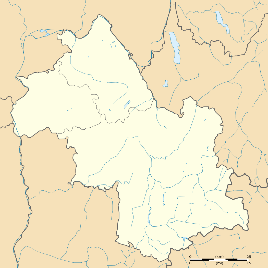
Français : Carte administrative vierge du département de l'Isère, France, destinée à la géolocalisation.
Equirectangular projection
|
| Datum | |
| Quelle | Eigenes Werk |
| Urheber | Pedro38 |
Lizenz
Ich, der Urheber dieses Werkes, veröffentliche es unter der folgenden Lizenz:
Diese Datei ist unter der Creative-Commons-Lizenz „Namensnennung – Weitergabe unter gleichen Bedingungen 3.0 nicht portiert“ lizenziert.
- Dieses Werk darf von dir
- verbreitet werden – vervielfältigt, verbreitet und öffentlich zugänglich gemacht werden
- neu zusammengestellt werden – abgewandelt und bearbeitet werden
- Zu den folgenden Bedingungen:
- Namensnennung – Du musst angemessene Urheber- und Rechteangaben machen, einen Link zur Lizenz beifügen und angeben, ob Änderungen vorgenommen wurden. Diese Angaben dürfen in jeder angemessenen Art und Weise gemacht werden, allerdings nicht so, dass der Eindruck entsteht, der Lizenzgeber unterstütze gerade dich oder deine Nutzung besonders.
- Weitergabe unter gleichen Bedingungen – Wenn du das Material wiedermischst, transformierst oder darauf aufbaust, musst du deine Beiträge unter der gleichen oder einer kompatiblen Lizenz wie das Original verbreiten.
Dateiversionen
Klicke auf einen Zeitpunkt, um diese Version zu laden.
| Version vom | Vorschaubild | Maße | Benutzer | Kommentar | |
|---|---|---|---|---|---|
| aktuell | 14:26, 2. Mär. 2012 | | 1.050 × 1.050 (108 KB) | Pedro38 |
Dateiverwendung
Die folgenden 7 Seiten verwenden diese Datei:
Globale Dateiverwendung
Die nachfolgenden anderen Wikis verwenden diese Datei:
- Verwendung auf als.wikipedia.org
- Verwendung auf eo.wikipedia.org
- Grenoblo
- Vienne (Isère)
- Bourgoin-Jallieu
- Fontaine (Isère)
- Échirolles
- Ŝablono:Situo sur mapo Francio Isère
- Saint-Martin-d'Hères
- Saint-André-le-Gaz
- Villard-de-Lans
- Grenoble (stacidomo)
- Bourgoin-Jallieu (stacidomo)
- Échirolles (stacidomo)
- Le Grand-Lemps (stacidomo)
- Le Grand-Lemps
- Voreppe (stacidomo)
- Voreppe
- Voiron (stacidomo)
- Voiron
- Brignoud (stacidomo)
- Villard-Bonnot
- Châbons (stacidomo)
- Châbons
- Goncelin (stacidomo)
- Goncelin
- Grenoble-Universités-Gières (stacidomo)
- Gières
- Lancey (stacidomo)
- Saint-André-le-Gaz (stacidomo)
- Virieu-sur-Bourbre (stacidomo)
- Panissage
- Val-de-Virieu
- Virieu
- Vinay (stacidomo)
- Vinay (Isère)
- Moirans (stacidomo)
- Moirans
- Poliénas (stacidomo)
- Poliénas
- Pontcharra-sur-Bréda (stacidomo)
- Pontcharra
- Allevard
- Réaumont - Saint-Cassien (stacidomo)
- Saint-Cassien (Isère)
- Réaumont
- Rives (stacidomo)
- Rives (Isère)
- Tullins-Fures (stacidomo)
- Tullins
- Saint-Marcellin (stacidomo)
Weitere globale Verwendungen dieser Datei anschauen.