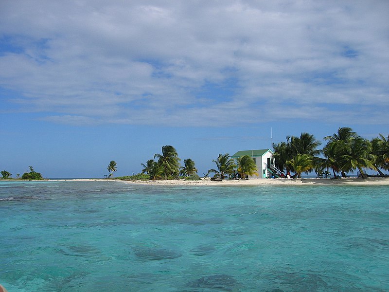
Datei:LaughingBirdCaye.jpg

Größe dieser Vorschau: 800 × 600 Pixel. Weitere Auflösungen: 320 × 240 Pixel | 640 × 480 Pixel | 1.024 × 768 Pixel | 1.280 × 960 Pixel | 2.272 × 1.704 Pixel
Originaldatei (2.272 × 1.704 Pixel, Dateigröße: 1,46 MB, MIME-Typ: image/jpeg)
Dateiversionen
Klicke auf einen Zeitpunkt, um diese Version zu laden.
| Version vom | Vorschaubild | Maße | Benutzer | Kommentar | |
|---|---|---|---|---|---|
| aktuell | 08:06, 15. Mär. 2009 |  | 2.272 × 1.704 (1,46 MB) | FlickreviewR | Replacing image by its original image from Flickr |
| 05:47, 15. Mär. 2009 |  | 1.024 × 768 (350 KB) | StaticVision | {{Information |Description={{en|1=LaughingBirdCaye}} |Source=http://www.flickr.com/photos/vkreay/390295605/sizes/l/ |Author=Victoria Reay's |Date=Feb 14, 2007 |Permission= |other_versions= }} <!--{{ImageUpload|full}}--> Category:Belize |
Dateiverwendung
Die folgende Seite verwendet diese Datei:
Globale Dateiverwendung
Die nachfolgenden anderen Wikis verwenden diese Datei:
- Verwendung auf en.wikipedia.org
- Volcán Atitlán
- Volcán Tolimán
- Volcán San Pedro
- Volcán Ipala
- Moyuta (volcano)
- Volcán Santo Tomás
- Tecuamburro
- Tahual
- Chingo
- Natural resources protection areas of Mexico
- Payne's Creek National Park
- Semuc Champey
- Punta Izopo National Park
- Visis Cabá
- Montañas Mayas Chiquibul
- Ixtepeque
- Suchitan
- Blue Creek Rainforest Preserve
- Grutas de Lanquín
- Cuevas del Silvino
- Las Victorias
- Gulf of Chiriquí National Marine Park
- Riscos de Momostenango
- Los Aposentos
- Cerro El Baúl
- Cerro Miramundo
- Cerro El Reformador
- San José la Colonia
- Sipacate-Naranjo National Park
- El Rosario National Park
- Naciones Unidas National Park
- Punta de Manabique
- Chocón Machacas
- User:Arjuno3/Sandbox/Punta de Manabique
- Template:NorthAm-protected-area-stub
- Manchón-Guamuchal
- Lacan-Tun Biosphere Reserve
- User:Nick5carr/Chingo
- Amelia Island Wildlife Management Area
- Verwendung auf es.wikipedia.org
- Verwendung auf incubator.wikimedia.org
- Verwendung auf www.wikidata.org