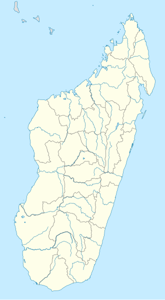
Datei:Madagascar location map.svg

Größe der PNG-Vorschau dieser SVG-Datei: 330 × 599 Pixel. Weitere aus SVG automatisch erzeugte PNG-Grafiken in verschiedenen Auflösungen: 132 × 240 Pixel | 264 × 480 Pixel | 423 × 768 Pixel | 564 × 1.024 Pixel | 1.128 × 2.048 Pixel | 803 × 1.458 Pixel
Originaldatei (SVG-Datei, Basisgröße: 803 × 1.458 Pixel, Dateigröße: 434 KB)
Dateiversionen
Klicke auf einen Zeitpunkt, um diese Version zu laden.
| Version vom | Vorschaubild | Maße | Benutzer | Kommentar | |
|---|---|---|---|---|---|
| aktuell | 16:51, 23. Sep. 2009 |  | 803 × 1.458 (434 KB) | NordNordWest | |
| 20:26, 14. Okt. 2008 |  | 803 × 1.458 (368 KB) | NordNordWest | {{Information |Description= {{de|Positionskarte von Madagaskar}} Quadratische Plattkarte, N-S-Streckung 105 %. Geographische Begrenzung der Karte: * N: 11.3° S * S: 26.0° S * W: 42.5° O * O: 51.0° O {{en|Location map of [[:en:Madaga |
Dateiverwendung
Die folgende Seite verwendet diese Datei:
Globale Dateiverwendung
Die nachfolgenden anderen Wikis verwenden diese Datei:
- Verwendung auf ba.wikipedia.org
- Verwendung auf bn.wikipedia.org
- Verwendung auf ceb.wikipedia.org
- Verwendung auf ckb.wikipedia.org
- Verwendung auf en.wikipedia.org
- Antsiranana
- Mahajangā
- Andoany
- Vatolaivy
- Toamasina
- Battle of Madagascar
- Mahalevona
- Fort-Dauphin (Madagascar)
- Toliara
- Nosy Be
- Fianarantsoa
- Antsohimbondrona
- Amparafaravola
- Antsirabe
- Antanifotsy
- Manakara
- Morondava
- Nosy Boraha
- Île aux Nattes
- Vatomandry
- Brickaville
- Vohemar
- Morombe
- Maroantsetra
- Banc du Geyser
- Anjozorobe
- Vangaindrano
- Marosakoa
- Ambenja
- Analalava
- Ambanja
- Anorotsangana
- Tsivory
- Betroka
- Ranotsara
- Ikalamavony
- Ambatofinandrahana
- Ihosy
- Bekisopa
- Soavina
- Solila
- Befotaka
- Iakora
- Zazafotsy
- Ambositra
Weitere globale Verwendungen dieser Datei anschauen.

