Datei:Map of Florida highlighting Plantation.png
Es ist keine höhere Auflösung vorhanden.
Map_of_Florida_highlighting_Plantation.png (450 × 427 Pixel, Dateigröße: 19 KB, MIME-Typ: image/png)
![]()
Diese Datei und die Informationen unter dem roten Trennstrich werden aus dem zentralen Medienarchiv Wikimedia Commons eingebunden.
![]()
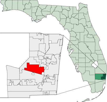
Created using coordinate data from US Census Bureau, modified in accordance with incorporation data from 2000-2005 in Adobe Illustrator.
| Ich, der Urheberrechtsinhaber dieses Werkes, veröffentliche es als gemeinfrei. Dies gilt weltweit. In manchen Staaten könnte dies rechtlich nicht möglich sein. Sofern dies der Fall ist: Ich gewähre jedem das bedingungslose Recht, dieses Werk für jedweden Zweck zu nutzen, es sei denn, Bedingungen sind gesetzlich erforderlich. |
Dateiversionen
Klicke auf einen Zeitpunkt, um diese Version zu laden.
| Version vom | Vorschaubild | Maße | Benutzer | Kommentar | |
|---|---|---|---|---|---|
| aktuell | 05:15, 29. Dez. 2005 | | 450 × 427 (19 KB) | Bastique | Better scale of state of Florida. |
| 06:05, 19. Dez. 2005 |  | 451 × 382 (18 KB) | Bastique | Created using coordinate data from US Census Bureau, modified in accordance with incorporation data from 2000-2005 in Adobe Illustrator. {{PD-self}} Category:Maps of Florida [[en:Image:Map_of_Florida_highlighting_ |
Dateiverwendung
Die folgende Seite verwendet diese Datei: