Datei:Map of Indiana highlighting Vanderburgh County.svg

Größe der PNG-Vorschau dieser SVG-Datei: 391 × 599 Pixel. Weitere aus SVG automatisch erzeugte PNG-Grafiken in verschiedenen Auflösungen: 156 × 240 Pixel | 313 × 480 Pixel | 501 × 768 Pixel | 668 × 1.024 Pixel | 1.337 × 2.048 Pixel | 722 × 1.106 Pixel
Originaldatei (SVG-Datei, Basisgröße: 722 × 1.106 Pixel, Dateigröße: 42 KB)
![]()
Diese Datei und die Informationen unter dem roten Trennstrich werden aus dem zentralen Medienarchiv Wikimedia Commons eingebunden.
![]()
Beschreibung
| Beschreibung |
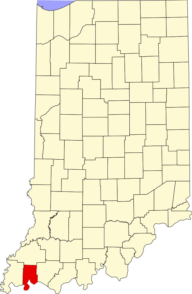
English: This is a locator map showing Vanderburgh County in Indiana. For more information, see Commons:United States county locator maps. |
| Datum | |
| Quelle |
Eigenes Werk: English: The maps use data from nationalatlas.gov, specifically countyp020.tar.gz on the Raw Data Download page. The maps also use state outline data from statesp020.tar.gz. The Florida maps use hydrogm020.tar.gz to display Lake Okeechobee. |
| Urheber | David Benbennick |
Lizenz
| Ich, der Urheberrechtsinhaber dieses Werkes, veröffentliche es als gemeinfrei. Dies gilt weltweit. In manchen Staaten könnte dies rechtlich nicht möglich sein. Sofern dies der Fall ist: Ich gewähre jedem das bedingungslose Recht, dieses Werk für jedweden Zweck zu nutzen, es sei denn, Bedingungen sind gesetzlich erforderlich. |
Dateiversionen
Klicke auf einen Zeitpunkt, um diese Version zu laden.
| Version vom | Vorschaubild | Maße | Benutzer | Kommentar | |
|---|---|---|---|---|---|
| aktuell | 16:50, 25. Jun. 2024 | | 722 × 1.106 (42 KB) | Nux | uniform colors with good contrast |
| 22:42, 19. Jun. 2024 |  | 722 × 1.106 (42 KB) | Nux | fix rendering (remove clipping) | |
| 14:12, 12. Feb. 2006 |  | 2.887 × 4.423 (56 KB) | David Benbennick | {{subst:User:Dbenbenn/clm|county=Vanderburgh County|state=Indiana}} |
Dateiverwendung
Die folgenden 2 Seiten verwenden diese Datei:
Globale Dateiverwendung
Die nachfolgenden anderen Wikis verwenden diese Datei:
- Verwendung auf ar.wikipedia.org
- Verwendung auf arz.wikipedia.org
- Verwendung auf az.wikipedia.org
- Verwendung auf bg.wikipedia.org
- Verwendung auf bpy.wikipedia.org
- Verwendung auf cdo.wikipedia.org
- Verwendung auf ceb.wikipedia.org
- Verwendung auf ce.wikipedia.org
- Verwendung auf cy.wikipedia.org
- Verwendung auf en.wikipedia.org
- List of counties in Indiana
- Vanderburgh County, Indiana
- Darmstadt, Indiana
- Evansville, Indiana
- Highland, Vanderburgh County, Indiana
- Melody Hill, Indiana
- Evansville Vanderburgh School Corporation
- Armstrong Township, Vanderburgh County, Indiana
- Center Township, Vanderburgh County, Indiana
- German Township, Vanderburgh County, Indiana
- Knight Township, Vanderburgh County, Indiana
- Perry Township, Vanderburgh County, Indiana
- Pigeon Township, Vanderburgh County, Indiana
- Scott Township, Vanderburgh County, Indiana
- Union Township, Vanderburgh County, Indiana
- Template:Vanderburgh County, Indiana
- Template:VanderburghCountyIN-geo-stub
- Hillsdale, Vanderburgh County, Indiana
- Inglefield, Indiana
- User:Nyttend/County templates/IN/2
- National Register of Historic Places listings in Vanderburgh County, Indiana
- Saint Joseph, Vanderburgh County, Indiana
- University Parkway (Evansville)
- Haynies Corner Arts District
- International World War Peace Tree
- Daylight, Indiana
- McCutchanville, Indiana
- Earle, Indiana
- Armstrong, Indiana
- Red Bank, Indiana
- Mud Center, Indiana
- Category:Populated places in Vanderburgh County, Indiana
- User:Crtew
- List of Indiana state historical markers in Vanderburgh County
- Nisbet, Indiana
- Saint Wendel, Indiana
- User:Br.gamache/sandbox
Weitere globale Verwendungen dieser Datei anschauen.