Datei:Tupaia's map, c. 1769.jpg

Größe dieser Vorschau: 800 × 538 Pixel. Weitere Auflösungen: 320 × 215 Pixel | 640 × 430 Pixel | 1.024 × 688 Pixel | 1.280 × 860 Pixel | 2.560 × 1.720 Pixel | 7.657 × 5.145 Pixel
Originaldatei (7.657 × 5.145 Pixel, Dateigröße: 15,67 MB, MIME-Typ: image/jpeg)
![]()
Diese Datei und die Informationen unter dem roten Trennstrich werden aus dem zentralen Medienarchiv Wikimedia Commons eingebunden.
![]()
Beschreibung
| Künstler |
James Cook |
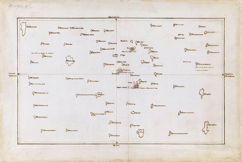
| Beschreibung |
English: Tupaia's chart of the islands surrounding Tahiti in Oceania |
| Datum | etwa 1769 |
| Inventarnummer |
Add MS 21593 C |
| Referenzen | The Society Islands |
| Herkunft/Fotograf |
British Library, London. |
Lizenz
|
Dies ist eine originalgetreue fotografische Reproduktion eines zweidimensionalen Kunstwerks. Das Kunstwerk an sich ist aus dem folgenden Grund gemeinfrei:
Nach offizieller Ansicht der Wikimedia Foundation sind originalgetreue Reproduktionen zweidimensionaler gemeinfreier Werke gemeinfrei. Diese fotografische Reproduktion wird daher auch als gemeinfrei in den Vereinigten Staaten angesehen. Die Verwendung dieser Werke kann in anderen Rechtssystemen verboten oder nur eingeschränkt erlaubt sein. Zu Details siehe Reuse of PD-Art photographs.
| ||||
Dateiversionen
Klicke auf einen Zeitpunkt, um diese Version zu laden.
| Version vom | Vorschaubild | Maße | Benutzer | Kommentar | |
|---|---|---|---|---|---|
| aktuell | 04:03, 23. Sep. 2021 | | 7.657 × 5.145 (15,67 MB) | Capmo | Cropped 4 % horizontally, 6 % vertically using CropTool with lossless mode. |
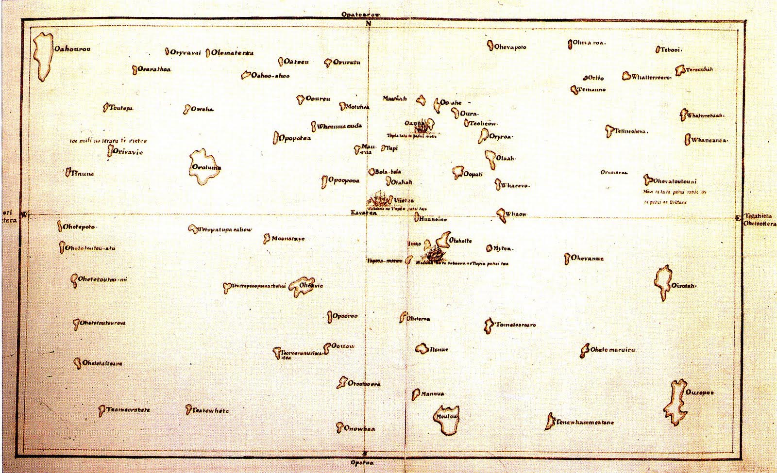
| 02:15, 7. Dez. 2019 |  | 8.000 × 5.484 (15,06 MB) | Adjutor | Newer image from the British Library https://www.bl.uk/collection-items/the-society-islands accessed 07 December 2019. Format - Pen and Ink, Map; Creator - James Cook, Tupaia Add. MS 21593 C; Created 1769 "This is a view of the Society Islands by Captain James Cook, who completed his first exploration of the Pacific Ocean from 1769 to 1771. The chart is a copy of an original document by Tupaia, a priest and leader of the island of Ra’iatea. He was enlisted by Cook to navigate HMS Endeavour to... | |
| 04:50, 16. Mär. 2017 |  | 1.600 × 975 (371 KB) | KAVEBEAR | ||
| 04:46, 16. Mär. 2017 |  | 801 × 488 (84 KB) | KAVEBEAR |
Dateiverwendung
Die folgende Seite verwendet diese Datei:
Globale Dateiverwendung
Die nachfolgenden anderen Wikis verwenden diese Datei:
- Verwendung auf en.wikipedia.org
- Verwendung auf es.wikipedia.org
- Verwendung auf id.wikipedia.org
- Verwendung auf it.wikipedia.org
- Verwendung auf no.wikipedia.org
- Verwendung auf zh.wikipedia.org