Bathurst Island (Australien)
Insel vor der Nordküste Australiens
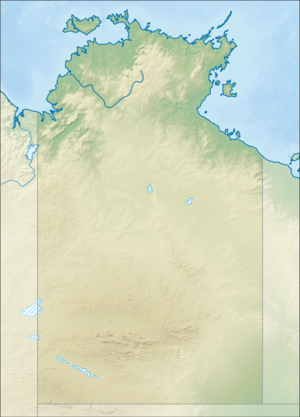
Bathurst Island ist eine australische Insel abseits der nördlichen Küste des Northern Territory.
| Bathurst Island
| ||
|---|---|---|
 | ||
| Gewässer | Timorsee (Indischer Ozean) | |
| Inselgruppe | Tiwi-Inseln | |
| Geographische Lage | 11° 35′ S, 130° 18′ O | |
|
| ||
| Fläche | 2 100 km² | |
| Höchste Erhebung | Mount Hurd 71 m | |
| Einwohner | 1640 <1 Einw./km² | |
| Hauptort | Wurrumiyanga | |
 | ||
Sie ist 2100 km² groß und gehört neben Melville Island zur Gruppe der Tiwi-Inseln.
Der Inselname erinnert an Graf Henry Bathurst, nach dem ebenfalls die gleichnamige kanadische Insel Bathurst Island benannt ist. Die größte Siedlung der Insel, Nguiu, heute Wurrumiyanga, liegt im Südosten, hat 1450 Einwohner und ist ca. 70 km von Darwin entfernt.
Weblinks
BearbeitenCommons: Bathurst Island – Sammlung von Bildern, Videos und Audiodateien
